
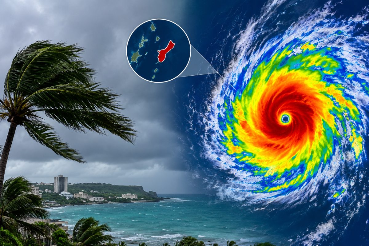

Guam braces for a fast-moving storm that could turn into a typhoon within days, and forecasters say the timing is tight.
Tropical Storm Champi was churning east of the Mariana Islands on Thursday, Oct. 15, 2026, with winds near 45 mph, prompting a typhoon watch for Guam, Rota, Tinian and Saipan as officials warned the system could strengthen into a typhoon by Saturday and pass close to Guam on Sunday morning.
Iran Attacks Sink Two Ships Near Strait of Hormuz in Just 24 Hours
Tropical Storm Champi tracks toward the Marianas
The National Weather Service in Guam said Champi was moving west-northwest at about 12 mph on Thursday, with maximum sustained winds near 45 mph. The Joint Typhoon Warning Center pegged the storm at roughly 35 knots, or about 40 mph, at 15:00 UTC that same day, and both agencies expected the system to keep gaining strength as it pushed closer to the islands.
A typhoon watch went up for Guam, Rota, Tinian and Saipan along with nearby coastal waters. That watch means winds of 74 mph or stronger are possible within 48 hours. Guam Governor Lou Leon Guerrero responded by placing the island under Condition of Readiness 3 at 5 p.m. local time Thursday, a signal for government agencies and residents to start locking down preparations before conditions turned dangerous.
Forecasters tracked Champi along the southern edge of a subtropical ridge sitting far to the north, a setup that was steering the storm on a steady west-northwest path. That track put the Mariana Islands squarely in the potential impact zone, though exact positioning remained uncertain heading into the weekend.
Germany's Ex Spy Chief Arrested at 80 Over Alleged BND Secrets Leak
Guam typhoon watch timeline moves fast toward the weekend
Officials expected tropical-storm-force winds to reach the Marianas as early as Saturday evening, with typhoon conditions possibly arriving Sunday morning. One forecast scenario placed the storm's closest pass near Andersen Air Force Base around 8 a.m. Sunday, carrying sustained winds near 105 mph and gusts up to 130 mph, strength that would match a Category 2 hurricane on the Saffir-Simpson scale.
Rain posed its own separate danger. The National Weather Service forecast storm totals between 6 and 12 inches across Guam and the Northern Marianas, with flooding likely in cities, low ground and areas with poor drainage. Seas were expected to build sharply too, with waves potentially topping 20 feet during the storm's closest approach and rough surf lingering into Monday.
The pace of this storm stood out. Champi went from a tropical depression identified as 29W on Oct. 14 to a named tropical storm by Oct. 15, and forecasters warned the climb toward typhoon status could happen just as quickly over the following two days.
Officials urge Guam residents to prepare now, not later
The National Weather Service was direct about the risk, stating that typhoon watch conditions mean winds of 74 mph or more are possible within 48 hours. Guam Homeland Security and the Office of Civil Defense pushed residents to act during the watch period rather than wait, urging people to secure loose property, check emergency supplies and keep tabs on official updates.
A forecast discussion from the National Weather Service warned that conditions would deteriorate quickly, with tropical-storm-force winds possible Saturday evening followed by typhoon-force winds Sunday morning. That same guidance pointed to west winds of 60 to 70 mph with gusts as high as 100 mph across parts of the Marianas as the system closed in.
Emergency management accounts reinforced the message online, telling Guam residents to have multiple ways of receiving alerts, follow instructions from local officials, and get ready for both damaging wind and flooding at the same time. That dual threat, wind on one side and water on the other, shaped most of the public guidance issued through Thursday.
Forecasters warn Champi could become one of the year's strongest storms
Beyond Guam, meteorologists were watching Champi for a much bigger reason. A Washington Post analysis described conditions as favorable for rapid intensification once the storm consolidated over open water, raising the possibility that Champi could rival the strongest tropical cyclones recorded anywhere on the planet so far in 2026.
That kind of strengthening would not happen overnight, but forecasters said the ingredients were in place. Warm ocean water, plenty of moisture in the atmosphere and light wind shear can let a storm build a tight, well-organized core fast, and early signs pointed in that direction for Champi as it approached the Marianas.
What comes next for Guam and the storm's path
The most critical stretch sits just ahead. Forecasters expected to issue updated tracks through Friday and Saturday, with the possibility that the typhoon watch gets upgraded to a warning if confidence grows in a closer or stronger hit. Guam's Condition of Readiness status could also shift higher depending on how fast Champi organizes.
Sunday morning stands out as the critical window, when typhoon-force winds, the heaviest rain and the roughest seas were all expected to converge near Guam. Residents were told to finish storm preparations before Saturday night, since conditions were forecast to turn dangerous quickly once tropical-storm-force winds arrived. Rough surf and elevated seas could then linger into Monday, even after the core of the storm moves on.